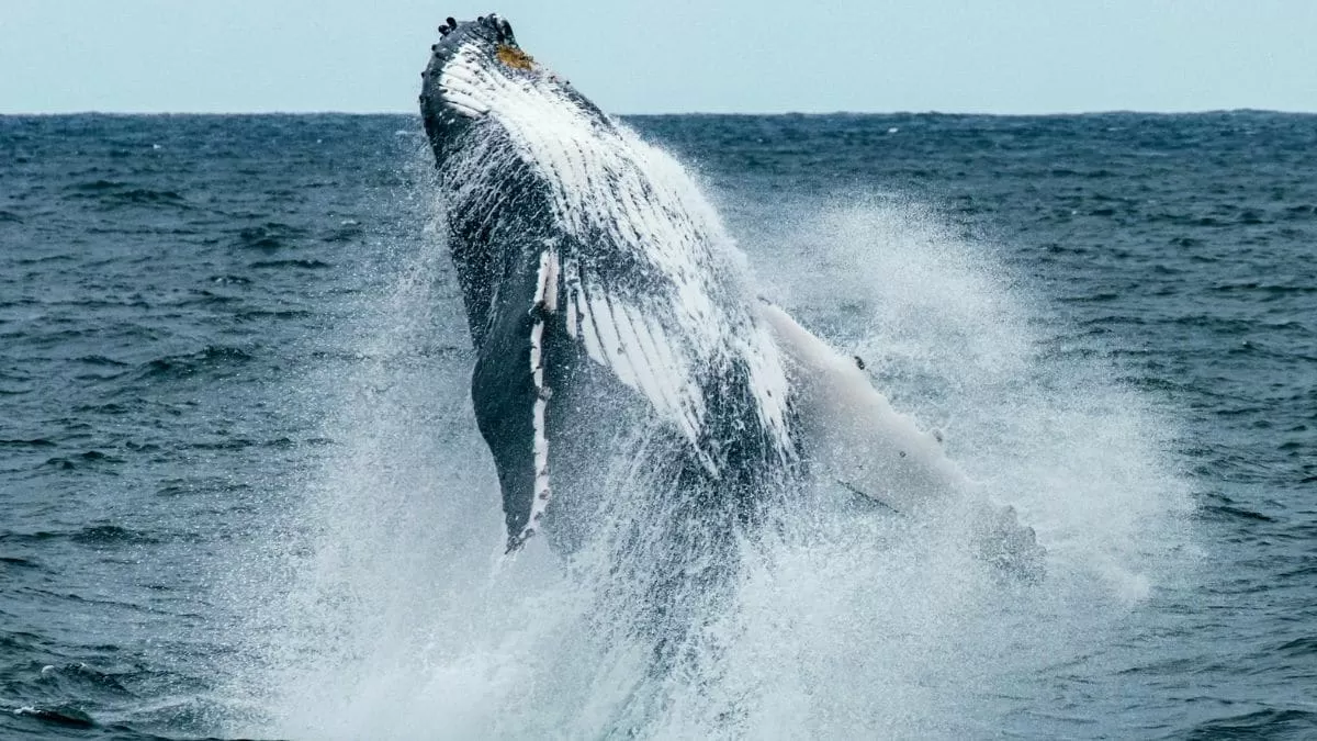
North Atlantic Right Whales are one of the most majestic creatures in the world. These gentle giants can grow up to 50 feet in length and weigh up to 70 tons, making them one of the largest mammals on the planet. Unfortunately, these magnificent creatures are also one of the most endangered species, with only around 400 individuals left in the wild. The main threats to their survival are fishing gear entanglement and ship collisions. However, thanks to the efforts of scientists and the use of NASA satellite data, there is hope for the future of these magnificent creatures.
The North Atlantic Right Whales are found in the Gulf of Maine, where they spend their summers feeding on a key food source – the red coloured plankton Calanus finmarchicus. This tiny copepod is essential to the survival of the whales, as it provides them with the necessary nutrients to sustain their massive bodies. However, due to climate change and other environmental factors, the distribution and abundance of this plankton have been changing, making it difficult for the whales to find and feed on it.
To address this issue, scientists have turned to NASA satellite data to track the movements of the Calanus finmarchicus in the Gulf of Maine. This data, collected by the Moderate Resolution Imaging Spectroradiometer (MODIS) on NASA’s Aqua satellite, provides information on the ocean’s colour and temperature, which can help identify the location of the plankton swarms. But how does this help the North Atlantic Right Whales?
Well, the Calanus finmarchicus has a unique feature that makes it stand out from other plankton – its red pigment. This pigment is what gives the plankton its distinct red colour and makes it easier to spot from space. By using this natural pigment, researchers can identify the location of the plankton swarms and track their movements in real-time. This information is then shared with the fishing industry and shipping companies to help them avoid areas where the whales are feeding, reducing the risk of entanglement and collisions.
The use of NASA satellite data has proven to be a game-changer in the conservation efforts of the North Atlantic Right Whales. By tracking the movements of their key food source, scientists can better understand the whales’ feeding patterns and make informed decisions to protect them. This technology has also allowed researchers to identify new feeding areas for the whales, which can help in their long-term survival.
But the benefits of using NASA satellite data do not stop there. This technology has also helped scientists monitor the effects of climate change on the distribution and abundance of the Calanus finmarchicus. By studying the changes in the plankton’s distribution, researchers can predict how it will affect the whales’ feeding habits and take necessary measures to protect them.
The success of this project is a testament to the power of collaboration between different fields of science. The use of NASA satellite data, combined with the expertise of marine biologists and oceanographers, has provided a comprehensive understanding of the North Atlantic Right Whales’ ecosystem. This knowledge is crucial in developing effective conservation strategies to protect these endangered creatures.
The efforts to protect the North Atlantic Right Whales are ongoing, and there is still a long way to go. However, the use of NASA satellite data has given us a glimmer of hope for their survival. With continued research and conservation efforts, we can ensure that these magnificent creatures continue to thrive in our oceans.
In conclusion, the North Atlantic Right Whales are facing numerous threats to their survival, but thanks to the use of NASA satellite data, we are one step closer to protecting them. By tracking the movements of their key food source, the Calanus finmarchicus, we can reduce the risk of entanglement and collisions, and also monitor the effects of climate change on their ecosystem. This project is a shining example of how technology and science can work together to make a positive impact on our planet’s biodiversity. Let us continue to support and invest in such initiatives to ensure a brighter future for the North Atlantic Right Whales and all other endangered species.


